I have but vague memories of a world that once lay at the gateway to my playground by the sea. It was a world that now seems so distant in time and in space, and one that for me comes back in bits and pieces. That was the world that was once the bustling Somapah Village, located close to the 10th milestone of Changi Road, a place that was a major settlement in the area, deserving a mention in the RAF Information Booklet for New Arrivals for its Veterinary Clinic from which dog licenses could be obtained: “Travelling from Changi, Somapah Road is the first turning left after the overhead pedestrian crossing in Suicide Village – an off-white bungalow almost at the end of the road”.

Somapah Village was one of the main settlements in the area and served as the gateway to some of the villages that lay along the old coastline (source: National Archives).
My acquaintance with the village goes back to the early days of Singapore’s independence, when my parents who were in the civil service, made regular use of the Government holiday bungalows near Mata Ikan Village. Somapah Village was where Somapah Road met Upper Changi Road and served as a gateway to the coastal villages that lay to the south-east of it, including Mata Ikan, which was located a mile or so down the road at the coastal end of Somapah Road. Passing through the part of the village which had always seemed a hive of activity in the mornings was also the trigger for me to look out for the red swastika that would be perched on the top of a building, having developed a fascination for the symbol from the many encounters I had with the Nazis that had to do less with my overactive imagination than with the nightly dose of the exploits of Vic Morrow’s character Sgt. Saunders on Combat! The red swastika belonged to the Red Swastika School that was in a quiet part of the village along Somapah Road on the right as we made our way towards Mata Ikan, and was the left facing symbol used by the Taoist Red Swastika Society as opposed to the right facing swastika used by the Nazis, not that I noticed it then.

A photograph of the old Red Swastika School along Somapah Road (source: Red Swastika School's website).
Besides the memories of the red swastika, I do have some further memories of Somapah, two of which relate to visit to the GP’s clinic which was on the right side of the village along Somapah Road (facing south). What I can recollect was that it was perched on a raised area from the road, a unit in a row of shophouses. Both visits made to the GP were certainly painful ones, the first involved my mother who needed the GP’s attention to remove a fish hook which had lodged into the flesh around her knee as she climbed over a sea wall at Mata Ikan. The second was made for my benefit, one in which I sought relief from a painful encounter with the zipper of my shorts.

A scene from Somapah Village in 1986 - I believe the GP's clinic was in the row of shops in the background (source: National Archives).
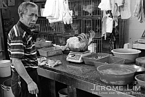
It wasn’t so much the GP’s clinic that my earliest memories of the village were connected with. Those were of the market, which I believe was on the side opposite the shops where the GP’s clinic was located. It was where (the bungalows we holidayed at were self-catering and featured a well equipped kitchen), my mother would on every other day during our stays, shop for supplies of fresh produce and fish. We could of course rely on the mobile vendors: vegetables, fish, meat and eggs were sold from the back of a pick-up or a van that went from house to house, but the market always offered a much larger assortment. The market was where I had my earliest memories of seeing Sting Rays up close, displayed on the table of a fishmonger close to the entrance of the market. Being the inquisitive child that I was, the market was always a great source of fascination for me.

A barber's shop at Somapah Village (source: National Archives).
On the subject of mobile vendors, one that I was particularly fond of seeing was the bread vendor, who made an appearance every morning with his colourful display of bread dangling from a rack of sorts that was mounted on the back of a motorcycle. His arrival meant I could get my day’s supplies of the sweet grated coconut buns that I never could wait to sink my teeth into. Another one on two wheels that I would look out for would have been the milkman, with a milk can mounted at the back of his bicycle from which he would dispense milk in glass bottles. It is only very recently that I realised that the milk actually came from a dairy farm that was in Somapah Village itself – learning of the farm’s existence from an article on the ThinkQuest website.

A Chinese Temple (source: National Archives).
There are a few who remember the area having lived in the village, including a few readers who were kind enough to share their memories of Somapah on my post on Mata Ikan. One was a Mr Koh who described where the GP’s clinic I mentioned was: “The GP’s clinic was indeed situated close to a row of shophouses. It was located up a small slope called Jalan Somapah Timor. It was opened in 1962. Opposite the clinic and across the road was an open field with some cattle for diary purpose. Beside the clinic was a PAP kindergaten, my first school. Opposite it was a small police post. The market was an open-air market. Some of the vendors had shops with wooden top for their goods; the rest would place their items on ground sheets”. Another who goes by the moniker “sotong” added “my first sch was the PAP kindergarten too. i used to stayed in a house at jalan somapah timor, where the airport was separated from my place by a major road..still rem often seeing and hearing plane flying over my house. Also rem the days accompanying my mum to the market near my kumpung, eating chicken rice in this shop for i think 50cents per pack. but unfortunately i can’t rem exactly where my old house use to be located”.

Chinese Medicine Shop at Somapah Village (source: National Archives).
These days, there isn’t really much to remind us of that Somapah. The village and all around it has all but disappeared and only a few remnants of the area are left. Most of Somapah Road has gone, just a little maybe 50 metre stretch left of it located somewhere close to where Singapore Expo is off Changi South Avenue 1, relegated to a road that serves as a driveway to a car park. Across the road there are a few reminders of the time from which my experiences of Somapah Village were connected with including some of the roads such as Jalan Tiga Ratus and the buildings that were the former Changkat Changi Primary School that rose on a small hill along the Changi Road (now Upper Changi Road) next to Jalan Tiga Ratus which was built in the later half of the 1960s.


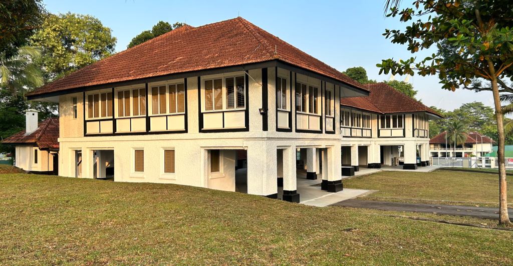
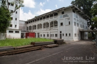
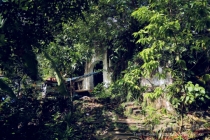
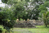
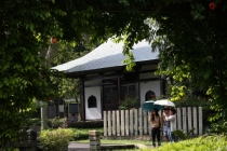
Across the road at Jalan Tiga Ratus, the buildings that were the Changkat Changi Secondary School (1st Photo) and Changkat Changi Primary School (2nd and 3rd Photo) built in the latter part of the 1960s still stand.

Across the road a big void greets the observer where once a bustling Somapah Road and Village had stood.

A gate stands across where Somapah Road had once run towards the coastal village of Mata Ikan.

What used to be Somapah Road near the junction with Upper Changi Road.

Where a village once stood ... now an empty field.


The little bit of Somapah Road that's left ... relegated to an access road for a car park.

A dead end for Somapah Road.

The view of the empty grassland from the south.


