The search for the ghosts of times forgotten takes me to some fascinating places. One place I found myself in recently was an island whose name hints of quite a haunted past, Pulau Hantu – Malay for Ghost Island. Long held with much superstition, why the island, which has remained uninhabited in recent memory, possesses its rather sinister sounding name seems to have been lost on many.

Dawn over an island abandoned by its ghosts.
One theory about how it got its name is that much of the island (when seen at low tide) seems to vanish like a ghost in the night with the rising tide, leaving no more than two coconut tree lined sandbars above the water. While that is quite plausible, it lacks the mystery and forbidding that many would think is more deserving of the title.

Less than ghostly apparitions … across the channel at Pulau Ular
A 1939 newspaper article written about stories and superstitions of old Malaya does provide a more disquieting take on the origins of the island’s name, attributing it to Pulau Hantu’s haunting by spirits of the dead connect to a “long forgotten story of death and cruelty”, revealing some of the superstition with which the island was held by the people of the coast:
Pulau Hantu, though planted with coconuts, has no one living on it. There is no water to be got there by digging, but that is not the reason for no one desiring to live there. In the centre of the place are to be found many graves, and there is some long-forgotten story of death and cruelty which makes the place haunted by the spirits of these unfortunate people, so that it is but seldom visited by the Malays, and then only to collect ripe coconuts, which are the property of a man on the next island, to which one can wade at very low tides.
(More Stories And Superstitions Of Old Malaya: Tales related by an old Malay to “Yahya”, The Straits Times, 9 April 1939)

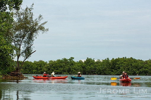
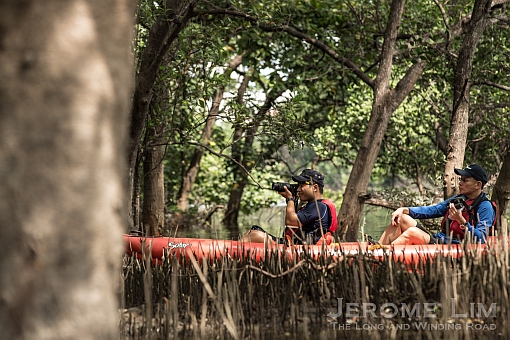
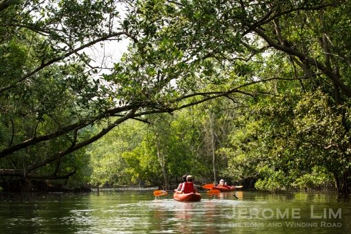
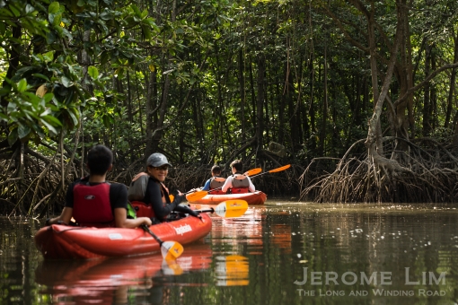
An are of mangroves on the northern shore of Pulau Hantu Besar.
The island, or as it is more commonly taken to be today, two islands, Pulau Hantu Besar and Pulau Hantu Kechil, has since expanded in size. Additional land mass through reclamation work in the 1970s, enlarged its total area by some 12 times. While there may have been a reluctance to visit it amongst the people of the sea, it has actually long been known as a spot for recreation, and its sandy beaches and rich coral reefs have attracted many picnic goers and campers as well as divers as far back as the early twentieth century. Sentosa Development Corporation (SDC), under whose charge the two islands have come under since the mid 1970s, continues to keep the islands open for recreational activities.

The view across the lagoon between the two parts to Pulau Hantu towards Pulau Ular.
It is perhaps in keeping with the SDC sanctioned version of the tale behind the islands’ names that sees the two parts to the island being considered as two individuals islets. This version has as much to to with the spirits dwelling on the islands as with the tale told by the old Malay in 1939, as it has with jinns and sea spirits, fitting quite nicely into the collection of stories once told of our seemingly turbulent seas.

Another view by night across the lagoon – towards the smoking guns across at Pulau Ular.
I am reminded of this coming ashore on Pulau Hantu Besar. This version of the tale is what all visitors are confronted with at the inshore end of the jetties on both islands, told from a prominently placed signboard marked with these words:
There were once two great warriors locked in a fierce battle at sea. Many people died and the blue seas slowly became polluted with human blood, upsetting the Jinns at the bottom of the ocean. In anger, one powerful Jinn created a whirlpool and sucked the two warriors deep into the sea to drown them. Undeterred, they continued their battle.
Suddenly, the Jinn sprayed water onto one of them. The other warrior, seeing his opponent blinded, thrust his sword into his abdomen. At the same time, the wounded warrior forced his sword into the other man. Both collapsed and died.
The gods felt it was wrong for the seas’ spirits to interfere in human affairs, so the Jinn transformed the two warriors into islets so that their spirits could live on. As one of the warriors was smaller than the other, his islet was known as Pulau Hantu Kecil, while the larger one was named Pulau Hantu Besar.
Wandering around the shores of Pulau Hantu Besar, just a few hours past the witching hour, I am confronted not by jinns, sea spirits or ghosts but by the glare of the gods of the new age. It is from the angry stare of smoking chimneys and lighted towers of steel that now rise to the island’s north that the jinns and sea spirits have retreated, leaving only footprints fading in the sand. With no more shadows left to hide in, it is in the echoes that we find the the ghosts of Pulau Hantu, echoes in which I can only hear, the evanescing whispers of words that will soon lose their meaning.

The angry glare of the gods of the new age.
The islands of many ghosts:
Singapore’s islands, rich in the legends of a time we have been made to forget, have many fascinating tales to tell; hints of which are found in the names of many of the islands. The islands were once an integral part of a larger maritime based society that spanned across the Riau archipelago that through the enforcement of national boundaries, resettlement, reclamation and development, have broken their links to a centuries old past.
Among the tales that have survived the self-inflicted amnesia is that of the junk that was turned into the island of Pulau Jong, Junk Island, although it may not be for very much longer. The course that has been set for the junk, based on the 2013 Land Use Plan, will set it on collision course with a larger land mass that will have it aground by the year 2030.
Several islands, having been renamed, have also lost their ghosts. One that comes to mind is the former Pulau Penyabong (now Pulau Tekukor), where warriors were said to have dueled to the death. That tale also features Tekukor’s northern companion, the former Pulau Blakang Mati, which in being re-branded as Sentosa – the isle of Peace and Tranquility, has been cleansed of what is possibly a gory past.
The islands that are the subject of this post, Pulau Hantu, were, interestingly not alone in being so named. The other Pulau Hantu, is to be found in Keppel Harbour (see post: A Sunrise from Ghost Island) and having had its ghost exorcised in 1983 after Keppel Shipyard gained possession of it, is now called Keppel Island. Keppel shipyard has since moved away from the area and the island is now where the Marina @ Keppel Bay is located.
The Pulau Hantu, or I should say Pulau-pulau Hantu, I found myself looking for ghosts on, are located in the south-west, just south of a more recently created island that has fused the previously individual islands of Pulau Bukom Kechil, Pulau Ular, and Pulau Busing – on which a petrochemical complex is being developed, together.
Apart from the hantu found in their names, there is little that is now ghostly about the islands. A popular dive spot, the islands are also where campers and fishermen, seeking an escape from the urban world, can head to. While the surreal glow from the monster of a petrochemical complex on Pulau Ular brightening up the northern shores of the two islands may not be what a camper seeking an escape might appreciate, the islands are probably as far out from urban Singapore one could practically run off to, while still remaining in Singapore.
More information on Pulau Hantu (Besar and Kechil), as well as the rich array of marine life found in its reefs can be found at the following links:
Sisters’ Islands and Pulau Hantu (Sentosa Leisure Management)
The Hantu Bloggers
A special National Day at Pulau Hantu! (Wildshores of Singapore)
Lionfish on Lion City’s birthday at Pulau Hantu!
Sea the hidden depths of Singapore (Asia One)

The view across the inter-tidal mud flat towards what would once have been Pulau Busing.

A different ghost in the night.


 The first phase sees the restoration of two buildings on the site to accommodate a field study laboratory, seminar rooms for up to 100 people and basic accommodation facilities. An outdoor campsite is also being set up to take up to 100. The first users of the ULL will be students from the Republic Polytechnic and ITE College East who are looking at setting up roosting boxes in Ubin for insect eating bat species and nesting boxes for the Blue-throated Bee-eater as part of a biodiversity enhancement and species recovery programme.


")


