Close to four years since the close of the railway that ran through Singapore, the much anticipated Request for Proposal (RFP) for the Rail Corridor is finally out – announced at 11 am today. Key highlights of the RFP include the submission of a Concept Master Plan and Concept Proposals. This will require the development of concept designs for four key activity nodes and two special interest areas, one of which is Tanjong Pagar Railway Station, which involves a proposal for its reuse as a community space for a period 20 years until the port is moved out. Also noteworthy is the identification of the Kranji MRT area as a northern gateway, which I understand will also involve a realignment of the rail corridor in the area. More information on the RFP can be found in the press release which is appended and at t http://ura.sg/railrfp.

We waved goodbye to the Malayan Railway trains through Singapore close to 4 years ago on 30 June 2011.

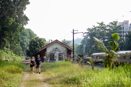
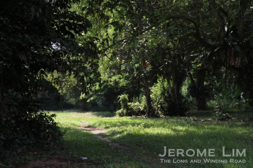
Bukit Timah Railway Station, one of four activity nodes for which concept designs are to be proposed.
NEWS RELEASE BY THE URBAN REDEVELOPMENT AUTHORITY
URA LAUNCHES REQUEST FOR PROPOSAL FOR THE RAIL CORRIDOR
Input from the community to crystallise Concept Master Plan and Concept Proposals
18 March 2015 – The Urban Redevelopment Authority (URA) launched the ‘Rail Corridor – An Inspired and Extraordinary Community Space’ Request for Proposal (RFP) today, inviting design professionals to develop a Concept Master Plan and Concept Proposals for Singapore’s Rail Corridor.
The Rail Corridor: A unique community space of exceptional possibilities
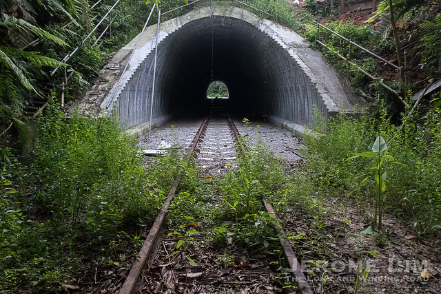
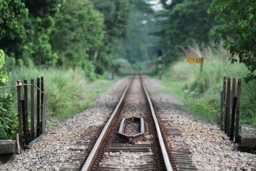
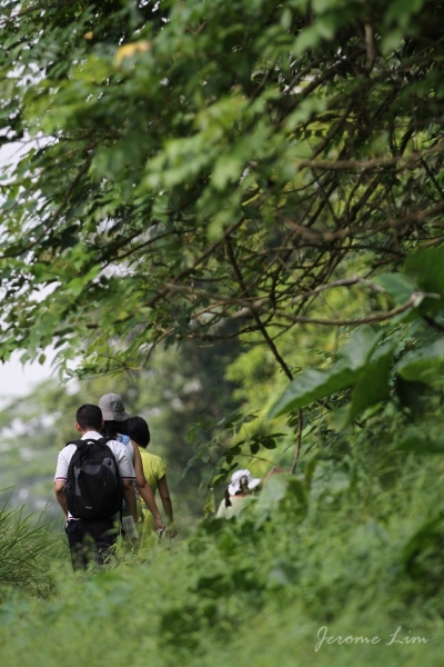
The 24 km-long Rail Corridor spans north to south of Singapore. It threads through diverse landscapes such as housing, business, industrial, and recreational areas, and key landmarks that are rich in nature and heritage. See Annex A for the current uses along the Rail Corridor.
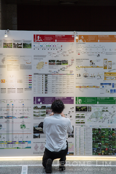
Over the past three-and-a-half years, the URA has engaged different segments of the community extensively through various platforms to gather feedback on their aspirations for the Rail Corridor. The URA has taken on-board the community’s input and distilled them into a set of Planning and Design Goals that now forms part of the RFP brief, to guide participating teams’ proposals for the Rail Corridor. See Annex B for this set of goals.
Mr Ng Lang, Chief Executive Officer of the URA, said, “The return of the former railway land presented a unique opportunity for us to shape the future of the Rail Corridor and its surrounding areas together with the community. The Corridor has the potential to become an extraordinary cross-island green artery and an inclusive community space that provides an exceptional experience for Singaporeans from all walks of life. We have taken the time to engage the community widely, and their input will now guide the development of the RFP proposals. Our intention is to continue to sensitively stage the development of this project with the community, and not rush into developing the whole stretch at one go.”
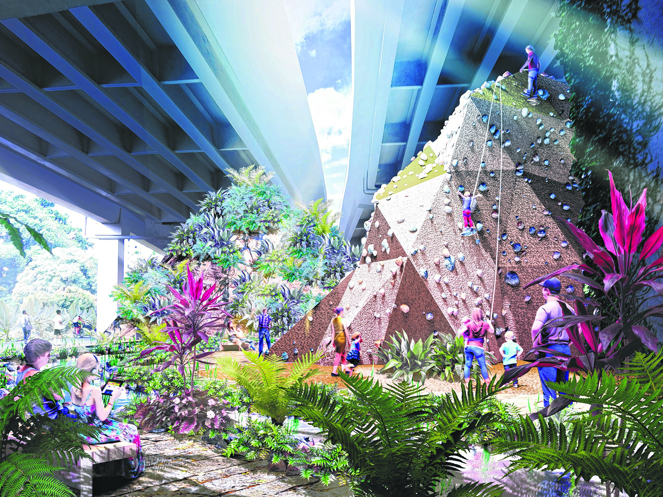
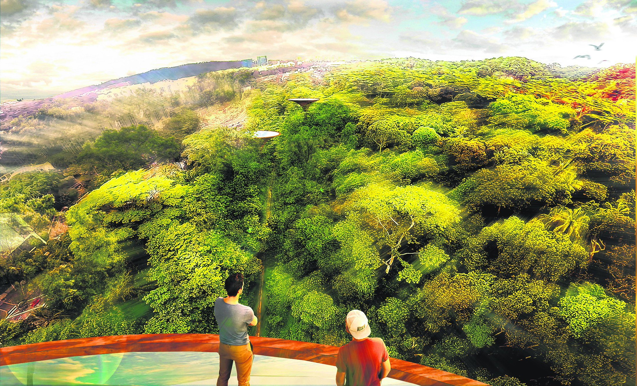
The RFP will be looking for design professionals to develop an overall Concept Master Plan and Concept Proposals for the Rail Corridor. The proposals should have nature and greenery, celebration of heritage, and connectivity as hallmarks of the Rail Corridor experience. They should be sensitive to the local context so that the Rail Corridor will become more accessible and comfortable for the wider community to enjoy. Retaining and enriching the signature ‘green corridor’ experience is also one of the key requirements. In addition, the proposals must be robust to accommodate the evolving needs of the community.
The RPF calls for an overall Concept Master Plan and Concept Proposals for the Rail Corridor. These include concept designs for four key activity nodes as well as smaller community nodes. There will also be Concept Designs for two special interest areas.
(1) The Concept Master Plan and Concept Proposals should create a unique and endearing Rail Corridor experience. The Concept Master Plan should be embedded with a strong identity and clear design approach that includes proposals for a community connector, amenities, and programming for community use. It should also include landscape, heritage and urban design strategies. Teams should also propose innovative design strategies to sensitively integrate developments with nature and greenery along the Rail Corridor. In addition, participating teams are to propose creative concept designs for four key activity nodes along the Corridor that can support a range of activities, namely:
(i) Buona Vista (near one-north)
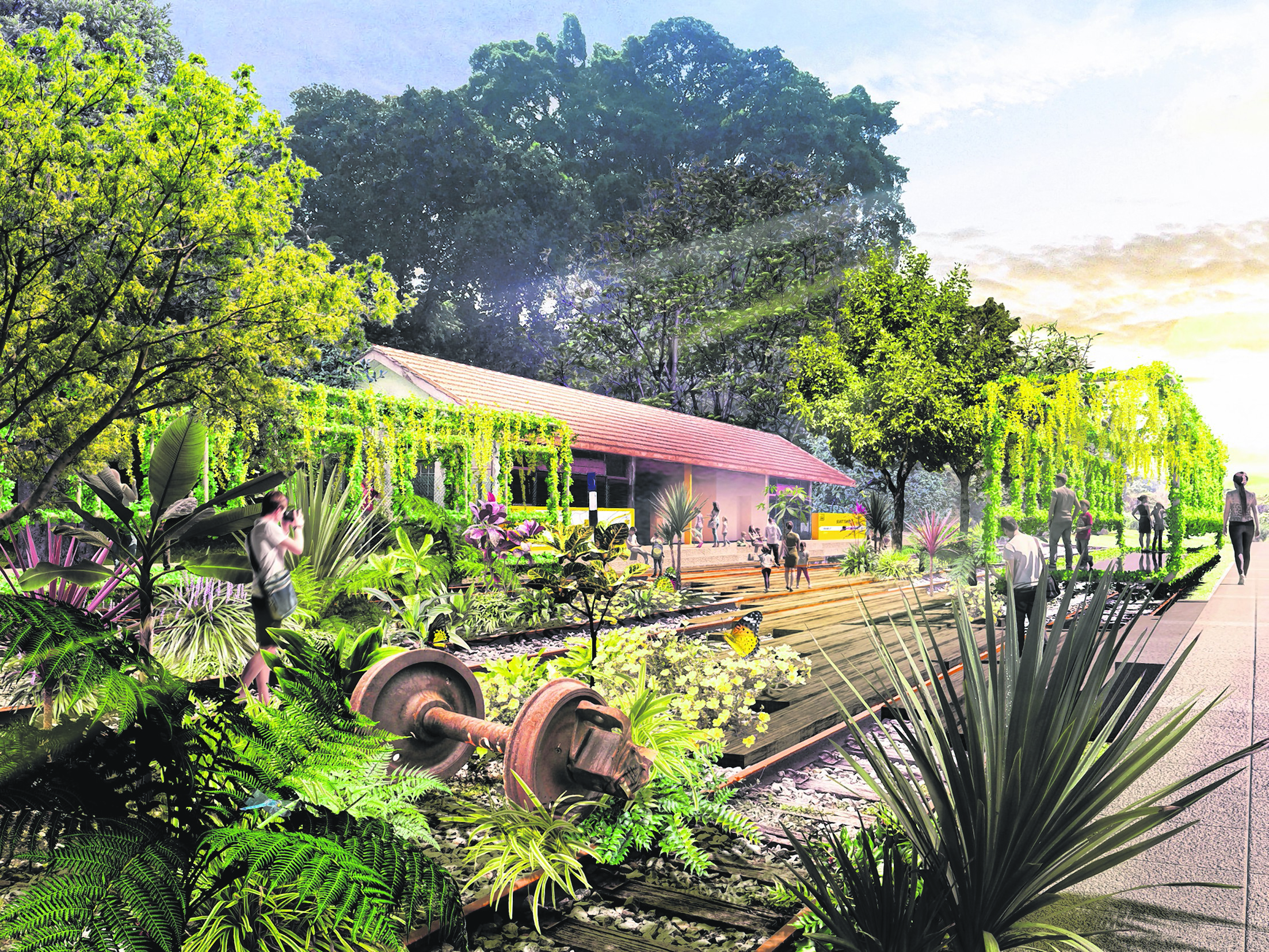
This can become a vibrant community space for the nearby business park and research community, as well as residents of the Queenstown neighbourhood. Its design should consider integrating the Rail Corridor with surrounding developments using appropriate urban design strategies. As it is located next to the Buona Vista MRT interchange station and is easily accessible by the public, the space could be designed to accommodate mass activities and events. Formerly the site of the Tanglin Halt Railway Station, teams can also look at recapturing the railway heritage of the area in a creative way.
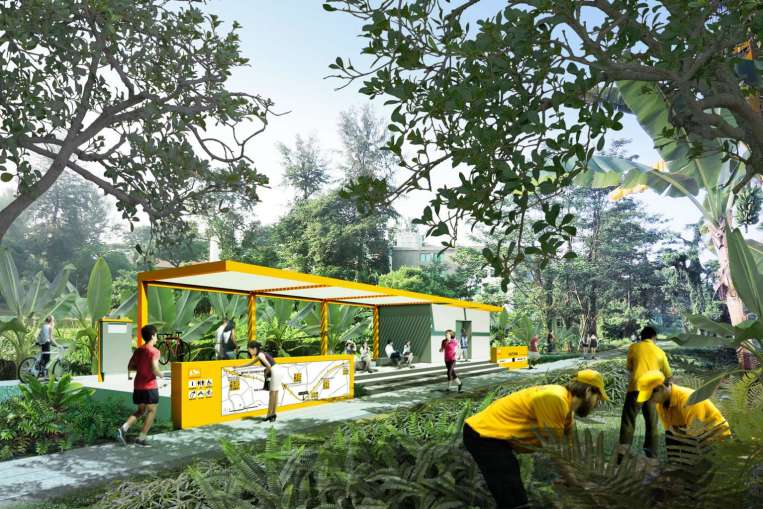
(ii) Bukit Timah Railway Station area
This is the green heart of the Rail Corridor. This midway point of the Corridor can become its green gateway with supporting visitor facilities. The planning and design of this node should be complementary to its idyllic natural setting anchored by the conserved Bukit Timah Railway Station. The Station itself should be repurposed for uses that complements the vision for this node. This is where occasional community events can be held. At most other times, it can be a place of retreat and where one can enjoy the serene, green landscape.
(iii) Former Bukit Timah Fire Station
The former Bukit Timah Fire Station and quarters will become a new gateway into the Rail Corridor. A new pedestrian link will be provided from the Fire Station site directly into the Rail Corridor where visitors could explore the parks fringing the Bukit Timah Nature Reserve such as Dairy Farm Nature Park and Bukit Batok Nature Park. The buildings within the Fire Station site will be retained and should be repurposed for uses that complement its function as a gateway into the Rail Corridor.
There could also be suitable linkages from the former Fire Station to nearby heritage sites such as the Old Ford Factory and site of the Battle of Bukit Timah, which are steeped in World War 2 history.
(iv) Kranji (opposite Kranji MRT Station)
This is envisioned to become the northern gateway into the Rail Corridor. Located across from the Kranji MRT station, it is highly accessible as a major gathering place for the community to hold events and start the journey south towards the city. Its design should complement and be sensitive to key landmarks in the area such as the Singapore Turf Club, Kranji War Memorial, and Mandai Mangroves.
The successful team for the Concept Master Plan will also be required to carry out a preliminary design for a selected 4 km signature stretch of the Rail Corridor. More details of this selected stretch will be provided to shortlisted teams.
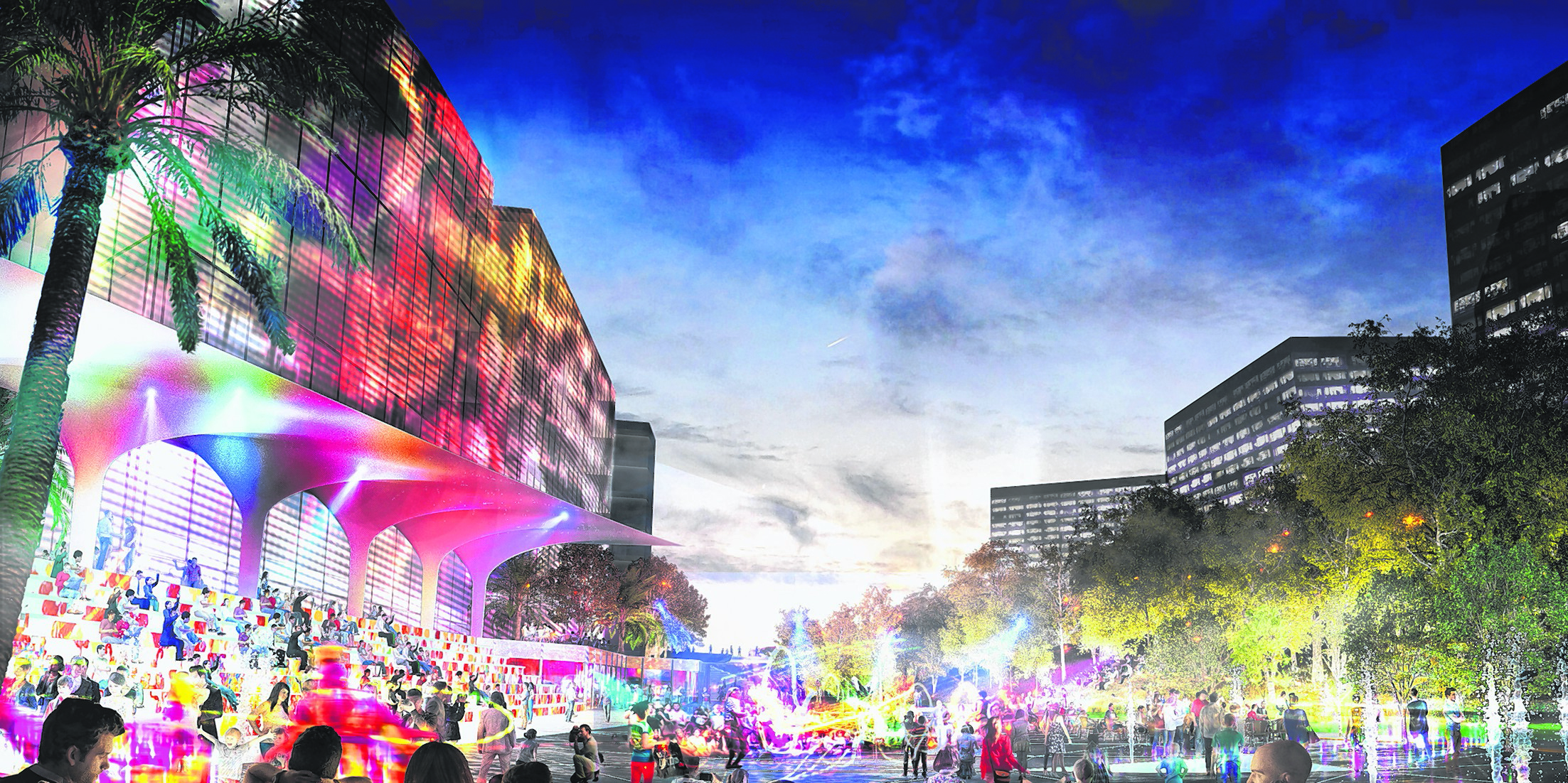
(2) Special interest area 1: Concept Designs for the adaptive reuse of the former Tanjong Pagar Railway Station.
This National Monument located at the edge of the city will become the most prominent and important gateway into the Rail Corridor. Participating teams should consider how the former Tanjong Pagar Railway Station can be put to adaptive reuse as a community building for the next 20 years, pending the development of the Greater Southern Waterfront. They are to propose suitable uses that will give the building a new lease of life. The space should allow for multi-functional community activities that supports its position as the anchor node into the Rail Corridor. The public should have unfettered access so that they can appreciate the heritage of this building and its surroundings.
(3) Special interest area 2: Concept Designs for an urban-green-blue tapestry at Choa Chu Kang
The stretch of the Rail Corridor at Choa Chu Kang that is adjacent to the Sungei Pang Sua Canal provides an opportunity to weave a unique urban-green-blue tapestry in the precinct. Currently, that stretch has low plant biodiversity, while the Sungei Pang Sua is fully canalised. Participating teams are to come up with innovative design concepts to enhance and integrate that segment of the Rail Corridor with Sungei Pang Sua to create an ecologically richer and more vibrant natural environment, and merge it seamlessly with future housing design in the area.
See Annex C which highlights the Rail Corridor, the four key activity nodes, and the two special interest areas.
Request for Proposal process
The RFP exercise comprises a 2-stage Tender Selection Process. Participating teams’ submissions will be assessed by a distinguished 11-member Evaluation Panel. Collectively, the panel members have deep and extensive experience and knowledge in urban planning and design, architecture, landscape architecture, building heritage, nature conservation, sustainable development, and park management. See Annex D for details of the RFP process and Annex E for the list of Evaluation Panel members.
The successful team(s) of consultants will be announced in October 2015. There will be a public exhibition of all shortlisted submissions from October to December 2015.
Continued community involvement
To ensure that the Rail Corridor lives up to its vision as an outstanding and inclusive public space for the community, the URA will continue to engage the community to gather further feedback on the proposals during the public exhibition. Following that, URA will work closely with the consultant(s) to refine the awarded Concept Master Plan and Concept Proposals, taking into account the public’s input.
The implementation will be studied carefully, taking into consideration various factors including the broader development plans for surrounding areas, the laying of underground services below the Rail Corridor, and the needs and aspirations of the community.
More information on the RFP exercise is available at http://ura.sg/railrfp.


")


